- This event has passed.
Tunnel to Tracks: A Peek at Safer, Better Trails on Twin Peaks
October 11, 2015 @ 8:00 am
Join veteran walk leader Bob Siegel, of the Bay Area Ridge Trail Council, to celebrate the month of #Walktober.
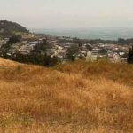
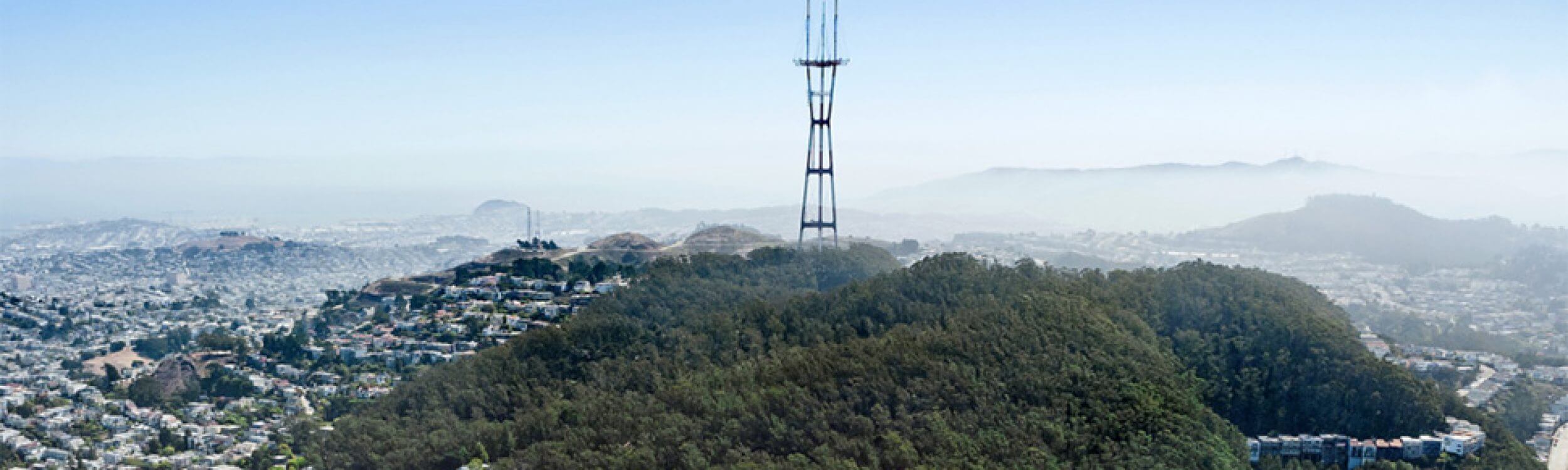
The Bay Area Ridge Trail is 350 miles long presently, but once its gaps are filled, it will be a 550-mile loop, stretching from Gilroy in the south, to Calistoga in the north, and connecting residents of nine Bay Area counties to the natural habitats being preserved as the trail expands. While hikers and bikers frequent the Trail as it follows the ridge lines high above San Francisco Bay, most are not as familiar with the Bay Area Ridge Trail’s 13-mile path through San Francisco.
October’s three and a half mile walk will begin at a transit-friendly location on Lagunda Honda (refer to WHERE below).
The hike will take walkers up Woodside Avenue to the Portola Trail, where the Bay Area Ridge Trail and the Creeks to Peaks Trail converge. Then walkers will climb up over Twin Peaks, with a stop to learn about plans for developing a hiking and biking trail on Twin Peaks separated from buses and cars, as well as upgrades to Bay Area Ridge Trail route. The walk will then pass through Mt. Sutro Open Space Preserve, before descending to Cole Valley and the intersection of Carl and Stanyan, for easy transit access via the N Judah.
The walk will end at Crepes on Cole for an optional lunch.
When: Walk SF’s monthly members walk begins on Sunday, October 11th from 10:00am to 1:00pm – walk will proceed rain or shine, barring high winds or dangerous weather.
Where: Bay Area Ridge Trail
What to bring:
- Wear closed-toe, comfortable shoes
- Carry rain gear and sunhat as needed
- Stock sunblock, water, and personal snacks
Entrance Fee: FREE for Walk SF members; $10 minimum donation per person for non-members.